Amboseli National Park Map: Gates, Roads, Lodges and Sights
An Amboseli National Park map is a plan of the park that shows where it sits in southern Kenya, how its gates and roads connect, and where the swamps, viewpoints, lodges and camps are. The park lies in Kajiado County against the Tanzania border and covers 392 square kilometers. A good map lets you judge drive times, pick a gate and choose a base before you pay for anything.
This article explains what the map contains and how to read it. You will get the entry gates, the main features inside the park, where the best-known lodges and camps sit, a sample three-day route, and short answers to the questions travelers ask most, such as whether Kilimanjaro is inside the park.
At Laxa Trails Safaris, a Kenya-based company founded in 2019 by a guide with over 14 years of field experience, we run Amboseli road safaris from Nairobi. The advice below reflects how the route works on the ground, not only on paper.
Why an Amboseli national park map matters before you book
A map matters because Amboseli is compact and open, so your gate, your lodge and your route decide how much of your day goes to driving instead of watching animals.
Where the park sits
The park lies in Loitoktok, Kajiado County, in southern Kenya, right against the Tanzania border. It covers 392 square kilometers of flat plains, a seasonal dry lake bed and swamps, at an average elevation of about 1,160 meters. The Kenya Wildlife Service manages it. On an Amboseli National Park location map, Nairobi lies to the north and Mount Kilimanjaro rises across the border to the south.
Mistakes a map prevents
Three planning errors show up again and again:
- Booking a lodge on the far side of the park from your entry gate, then losing an hour on slow tracks every game drive.
- Assuming "near Amboseli" means inside the park, when several camps sit in private conservancies just outside the boundary.
- Underestimating the road from Nairobi, which turns a "short" safari into a tiring one.
A map turns Amboseli from a name on an itinerary into a set of distances you can plan around.
How to read the map: gates, roads and the airstrip
Start with the entry points, because they tell you which road you will drive and where your lodge should be. Every map of Amboseli National Park in Kenya marks several gates, and the right one depends on where you arrive from.
Entry gates
Most maps show five or six gates. These are the ones that matter for planning:
| Gate | Typical use |
|---|---|
| Meshanani | Visitors from Nairobi via the Namanga road |
| Kimana | Visitors coming from the Tsavo and Mombasa highway side |
| Airstrip | Fly-in guests landing at Amboseli airstrip |
Maps also mark Iremito, Kitirua and Kulunyiet gates. Ask your driver-guide which one your lodge uses, since that decides your first game drive.
By road and by air
From Nairobi, you head south on the Namanga road and turn toward Meshanani gate. Plan on roughly four to five hours with stops, longer in heavy traffic. Travelers coming from Tsavo or the coast approach through the Kimana side. Inside the park, tracks are dirt, dusty in the dry months and slick after heavy rain, so a 4×4 or a safari van with a pop-up roof is the sensible choice.
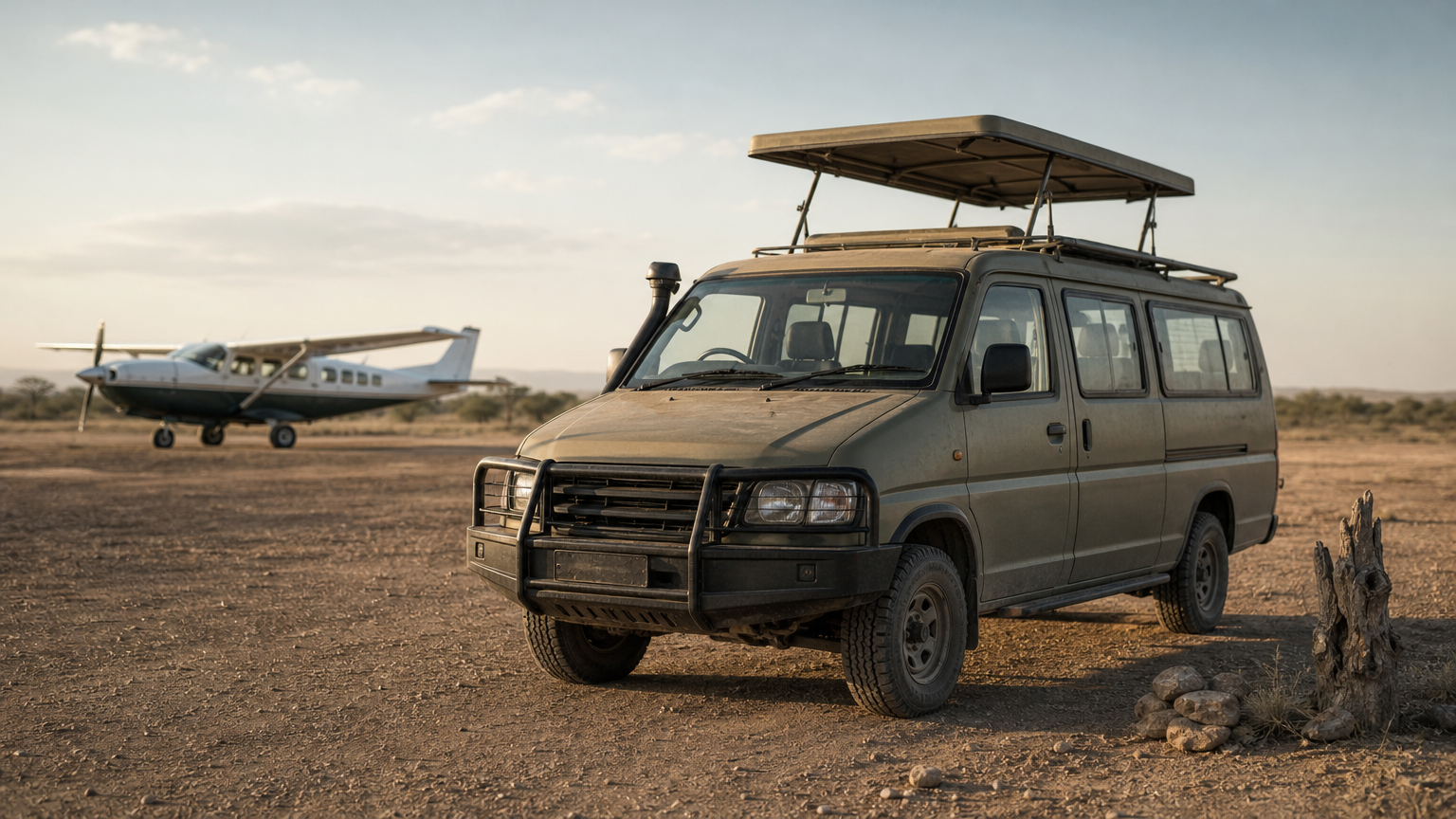
Flying is the alternative. Amboseli airstrip sits in the south of the park and is served by scheduled domestic airlines such as Safarilink and Air Kenya, with flights from Nairobi’s Wilson Airport. Flying saves most of a day, but you pay more and lose the chance to see the landscape change from the road.
Choose your gate first, then your lodge, then your game drive routes, in that order.
What the map shows inside the park
Inside the boundary, a good map marks the swamps, viewpoints and lodge areas that structure every game drive. Knowing them helps you tell your guide what you want to see.
Features worth finding on the map
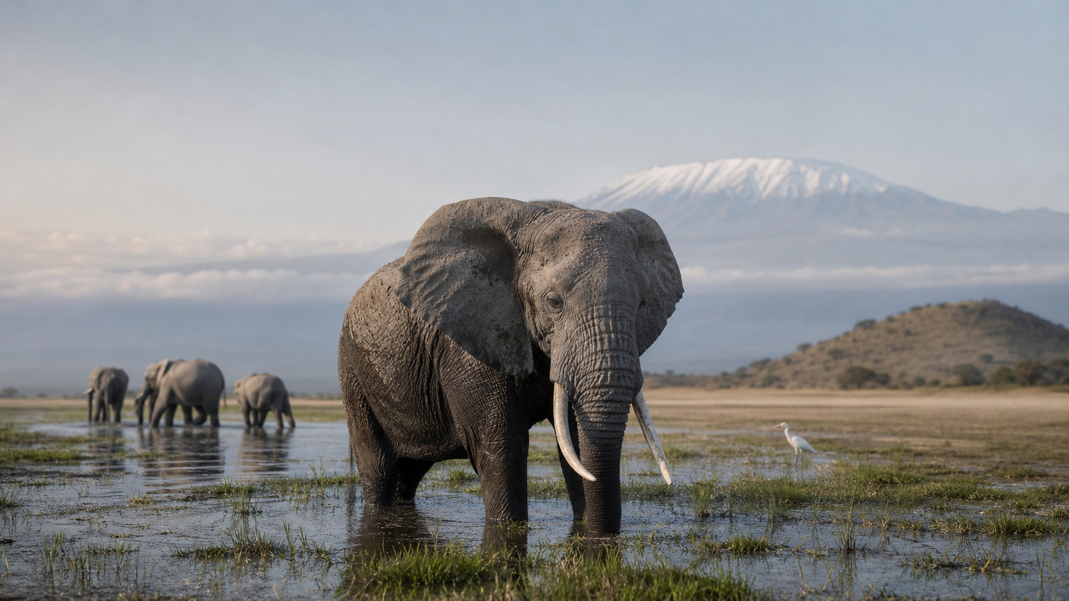
- Enkongo Narok swamp: the green heart of the park, fed by water filtering down from Kilimanjaro. Elephants and buffalo gather here in the dry season.
- Observation Hill: the main viewpoint, with a wide view over the plains and swamps. Many guides use it to scan for herds.
- Ol Tukai area: the main cluster of lodges and park facilities.
- Lake Kioko: a smaller water point good for birds and hippos. Hippos are not guaranteed, so ask your guide about current conditions.
- Lake Amboseli: mostly a dry lake bed that floods after heavy rains. In dry weather it throws up dust and mirages, and it makes a striking foreground for Kilimanjaro photos.
Lodges and camps on the map
Maps from safari operators most often label Amboseli Serena Safari Lodge, Tortilis Camp, Elerai Camp, Tawi Lodge and Kibo Safari Camp. Serena sits inside the park. Tortilis lies in the private Kitirua Conservancy just outside it, which matters because bush walks and night game drives are generally only allowed in private conservancies, not inside the park itself.
Budget shapes the choice. Our Amboseli trips use basic camping, luxury tented camps or lodges, depending on what you want to spend. Inside the park, you start game drives sooner. In a conservancy, you trade a longer transfer for quieter surroundings and extra activities.
Where you sleep relative to the gate sets your first and last game drive of every day.
How to use the map to plan your days
Use the map to work backward from your gate: mark where you enter, where you sleep and the two or three features you most want to see, then check that each day’s distances fit.
A three-day route worked through
Here is a realistic plan for a road safari from Nairobi:
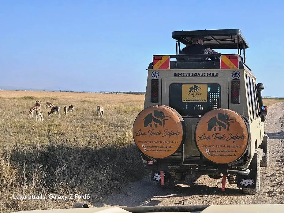
- Day 1: Leave Nairobi early, drive the Namanga road to Meshanani gate, check in, and do a late-afternoon game drive toward the swamps.
- Day 2: Take a sunrise drive around Enkongo Narok, rest at midday, then visit Observation Hill and the open plains for the afternoon light.
- Day 3: Make a short morning drive, then head back to Nairobi, leaving enough time for the four-to-five-hour road.
That is two nights and three days, which is the minimum that makes the drive worthwhile. Our 3 Days Amboseli National Park Safari follows this shape from Nairobi. It is listed at $715, down from $815, and includes game drives, all park entrance fees, full-board accommodation, drinking water and an English-speaking driver-guide. A Maasai village visit, a balloon safari, drinks and tips are not included.
If you have more time, Amboseli also appears on longer routes:
| Trip | Route highlights |
|---|---|
| 6 Days Unforgettable Kenya Safari ($2,195) | Amboseli, Lake Nakuru, Lake Naivasha, Masai Mara |
| 8 Days Amboseli, Tsavo West, Tsavo East and Diani | Three parks, then Diani Beach |
| 10 Days Ol Pejeta, Nakuru, Masai Mara, Naivasha, Amboseli, Tsavo West and Diani | Big loop with beach finish |
Saving the map for offline use
Mobile signal can be patchy in remote parks, so save the area before you leave Nairobi. In Google Maps, search for the park and download it as an offline area, as Google’s offline maps guide explains. Then screenshot your lodge’s position and gate so you can show your driver-guide exactly what you expect.
Plan every day from your gate outward, and never from the lodge brochure alone.
Questions the map answers about Kilimanjaro and wildlife
A map also settles the most common doubts. Here are the three that readers raise most.
Is Kilimanjaro inside Amboseli?
No. Mount Kilimanjaro is in Tanzania, across the border from the park. Amboseli is simply one of the best places to see it, because the open plains give an unobstructed view. The peak is clearest at dawn and dusk, and the dry months from July to October tend to give the sharpest views.
Can you see the Big Five?
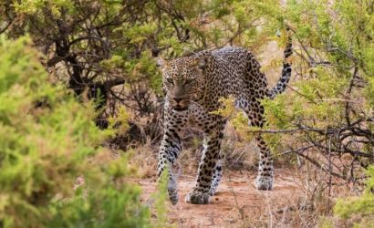
Partly. Amboseli is home to elephants, lions and buffalo, and leopards are present but rarely seen. Rhinos are generally absent from the park, so most visitors see four of the five at best. The park’s real strength is its large elephant herds at close range.
How many days do you need, and Amboseli or Mara?
Plan at least three days and two nights to make the drive worthwhile. Choose Amboseli for elephants and Kilimanjaro views, and the Masai Mara for big cats and the seasonal wildebeest migration. Many travelers combine both on one longer route.
Amboseli rewards you with elephants and Kilimanjaro, not with a full Big Five checklist.
Ready to put the map to use?
An Amboseli map is a planning tool: it shows where the park is, which gate fits your arrival, where the swamps and viewpoints lie, and how your lodge relates to the game drives. Read it before you book and your safari will go smoother.
If you would like help turning the map into a real itinerary, contact Laxa Trails Safaris with your dates and group size, and one of our tour consultants will come back with a plan.